National Park Service – Lowell, MI
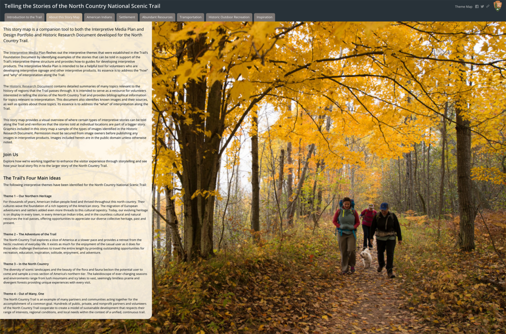
This interpretive planning project built upon the foundation document for America’s longest national scenic trail to establish standards and guidelines for hundreds of chapters and affiliates who help maintain and interpret more than 4,600 miles of trail.
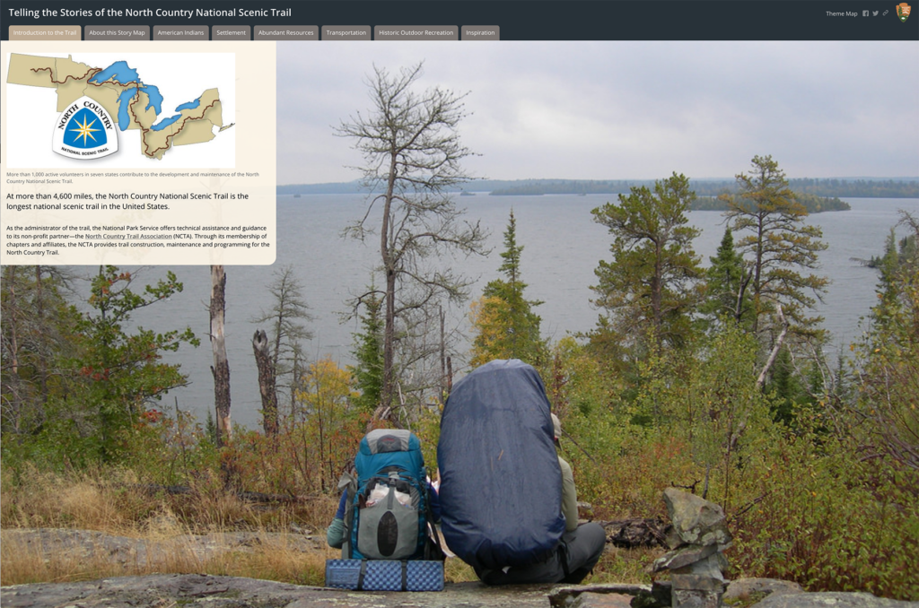
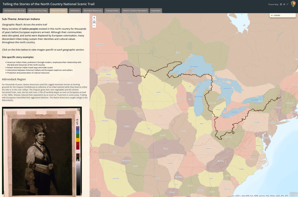
Due to the dispersed nature of the trail, we facilitated a series of virtual stakeholder workshops to gather input and, later, present findings. We then developed an interpretive theme matrix and theme map, and built a web-based resource using ESRI’s StoryMap platform. This digital theme map allows volunteers and partners to click on a sub-theme topic and view the specific storylines and background narrative and graphics that apply at specific locations across the trail. The final document is designed as a tool for volunteers and partners—providing an overview of interpretive principles and themes for the NST, as well as how-to guides for producing a number of different media.
COMPLETED 2018